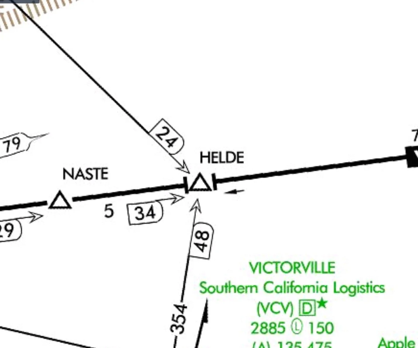
Waypoints
A waypoint is a predetermined geographical position used for route/instrument approach definition, progress reports, published VFR routes, visual reporting points or points for transitioning and/or circumnavigating controlled and/or special use airspace. A waypoint is defined relative to a VORTAC station or in terms of latitude/longitude coordinates. Two types of waypoints found on charts are fly-by waypoints and fly-over waypoints. Fly-by waypoints are typically used when there is a change in course for a procedure. Charts represent them with four-pointed stars. Fly-by waypoints are designed to allow you to anticipate and begin your turn prior to reaching the waypoint, thus providing smoother transitions. Fly-over waypoints are depicted as a four-pointed star enclosed in a circle. This type of waypoint is used to denote a missed approach point, a missed approach holding point, or other specific points in space that must be flown over.

